Description and Specification for Lab Tenders
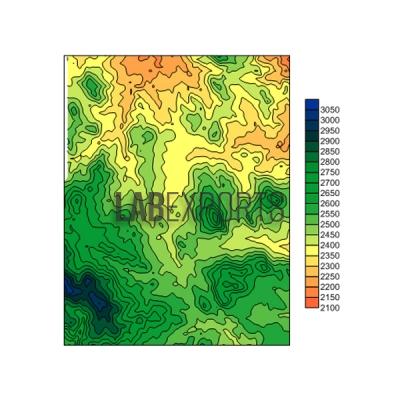
Contour Map.
Various landforms are represented in layered three dimensions according to a contour map. The model includes crest, ridge, valley, saddle, precipice, stream, alluvial apron, gentle slope and steep slope. Contour lines are depicted on the model surface, beneath which there are several removable layers.
We are manufacturers and suppliers of the Contour Map model, serving Algeria, Argentina, Australia, Bahrain, Bangladesh, Belgium, Bhutan, Brazil, Cambodia, Cuba, Cyprus, Denmark, Ecuador, Egypt, Ethiopia, Finland, France, Georgia, Germany, Ghana, Hungary, Iceland, Italy, Japan, Jordan, Kenya, Kuwait, Malaysia, the Philippines, Tanzania and Uganda.